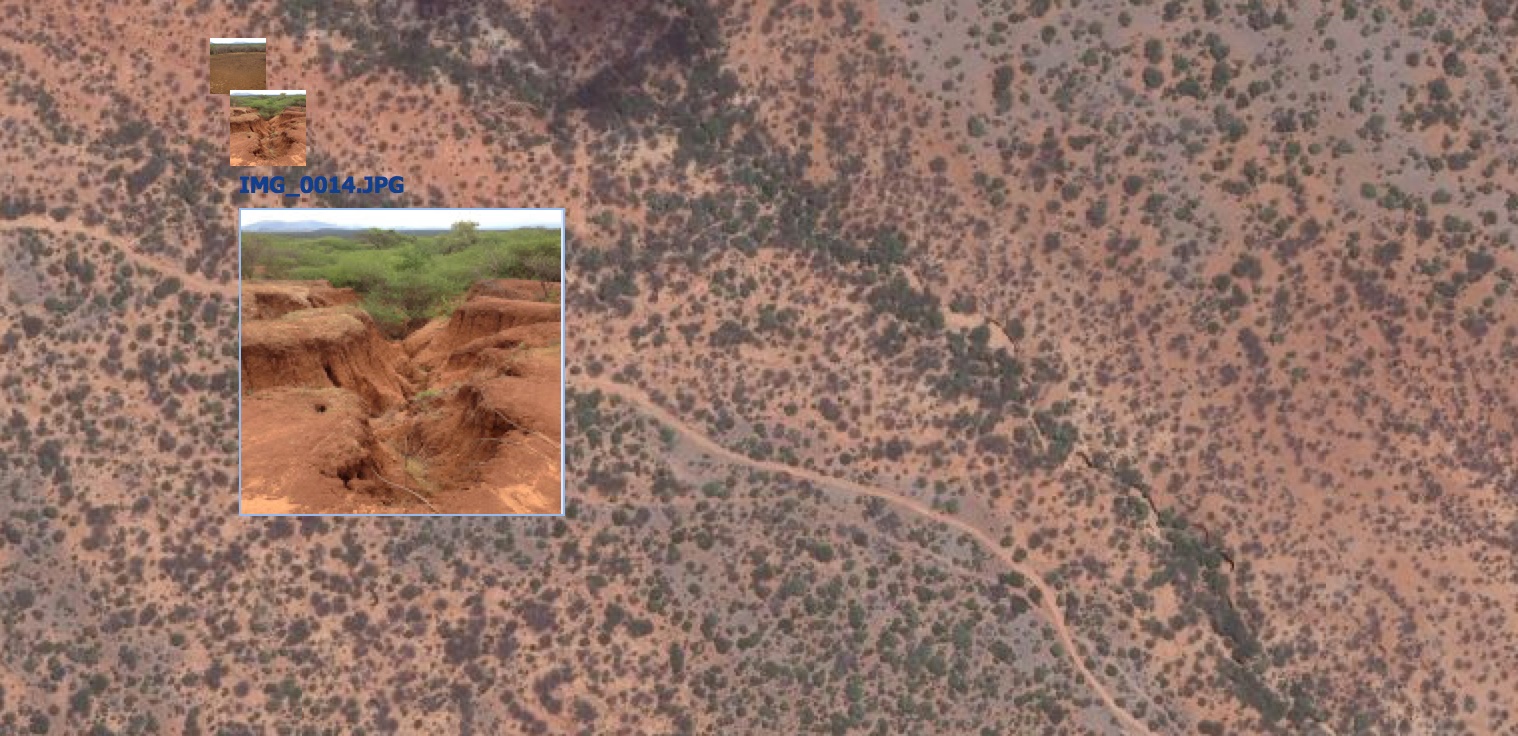
Adding geotagged photos to your map can be a powerful way to visualize the landscape that you are mapping, or even as a way to validate your mapping outputs. In the Landscapes Portal you can do this in three simple steps when creating a new map or when editing one of the existing maps on the portal:
- Create a new map and zoom into your area of interest
- Click on the "add layer" button (green button with plus sign) and select "Add feeds"
- Select Picasa as source and enter the keywords you want to search for on Picasa (for example "Landscapes"), give the layer a title so that you know what it is later and specify how many photos you would like it to return (maximum 100). Click "Add to Map" and you are done!
To view the photos, click on them and a larger thumbnail will be displayed.
NOTE! There is a bug in Firefox that sometimes makes clicking on the images to display thumbnails slow or non-responsive. We therefore recommend Chrome for this.
Comments
No comments yet.