Archives week 8 of 2014
Feb. 24, 2014 - March 2, 2014
Geospatial Data Abstraction Library (GDAL) is powerful library used by major GIS software from QGIS, ArcGIS, Udig even statistical software like R. It has a powerful set of command line tools and interface that can be accessed from variety of programming languages like C++, Java, Python, Perl, C# and Ruby.
When using GDAL on Linux ...
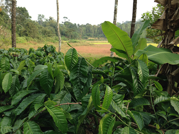
The Western Ghats sentinel landscape
Written by on Feb. 25, 2014 in Biodiversity, Deforestation.
Last update on Feb. 25, 2014.
**Forest and Agroforest Mosaics of the Western Ghats**
Agroforesty systems (coffee, tea, rubber, pepper, arecanut, cardamom) shape much of the landscape of the Western Ghats, India, and the mountain range has been identified as a biodiversity hotspot (Conservation International 2008; Myers et al. 2000). Before the development of large scale commercial cultivation under British colonial ...

