
Regreening Africa
- Scientist: Tor-G. Vågen
- Nov. 1, 2017, 2:13 p.m.
- Donor : European Commission
- Grant Ref :
- Members : Susan Chomba, Ravi Prabhu, MIeke Bourne, Leigh Winowiecki, Constance Neely, Karl Hughes, Dennis Garrity
EC EVA project page. This page shows all the spatial data layers, maps and documents that have been mapped to the EC EVA project on the Landscape Portal. The project has two objectives: to equip partner countries with the tools they need to accurately understand land degradation dynamics in order to influence policies and interventions, and to reverse land degradation across those countries through interventions that promote a re-greening of the landscapes. A detailed monitoring at fine scales of the biophysical and social consequences of interventions will let the project derive compelling, actionable evidence with a high degree of confidence about the context-specific costs and benefits of proposed approaches.
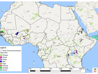
Regreening Africa is an ambitious five-year project that seeks to reverse land degradation among 500,000 households, and across one million hectares in eight countries in Sub-Saharan Africa. By incorporating trees into croplands, communal lands and pastoral areas, regreening efforts make it possible to reclaim Africa’s degraded landscapes.
Project layers, maps and documents
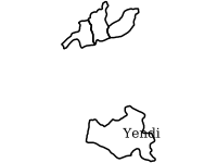
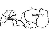

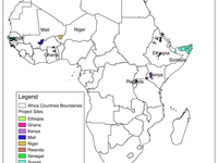
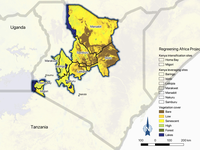
Ghana project action sites
- Oct. 17, 2018, 9:33 a.m.
Project action sites for Regreening Africa in Ghana

The Regreening Africa App User Guidelines(English)
- Oct. 23, 2019, 7:51 a.m.
The Regreening Africa App User Guidelines English version Explains steps and modules contained on the Regreening Africa App.
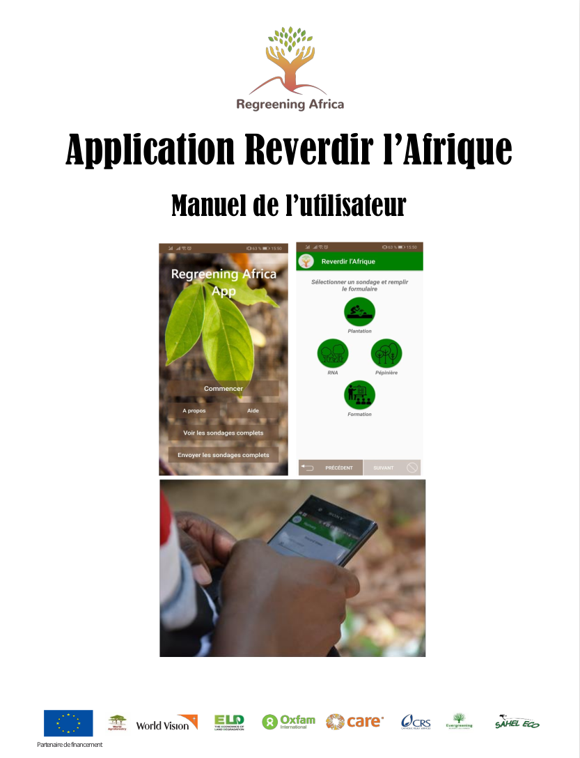
The Regreening Africa App User Guidelines(French)
- Oct. 23, 2019, 8:19 a.m.
L’application « Reverdir l’Afrique » est une application gratuite pour les appareils Androïd développée par World Agroforestry (ICRAF).
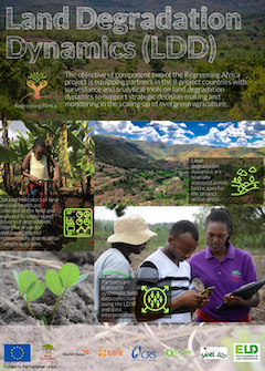
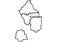
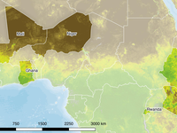
Land Degradation Dynamics (LDD)
- Nov. 11, 2019, 1:16 a.m.
The objective of component two of the Regreening Africa project is equipping partners in the 8 project countries with surveillance and analytical tools on land degradation dynamics to support strategic decision-making and monitoring in the scaling-up of evergreen agriculture.
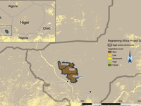
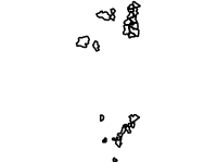
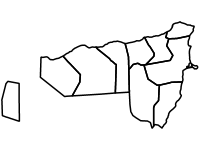
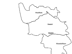
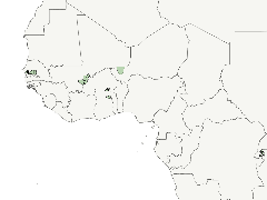
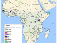
Niger Regreening Africa Project sites
- July 1, 2019, 12:43 a.m.
Map of Niger projection action sites for Regreening Africa Project. Regreening Africa, Niger, Sites.
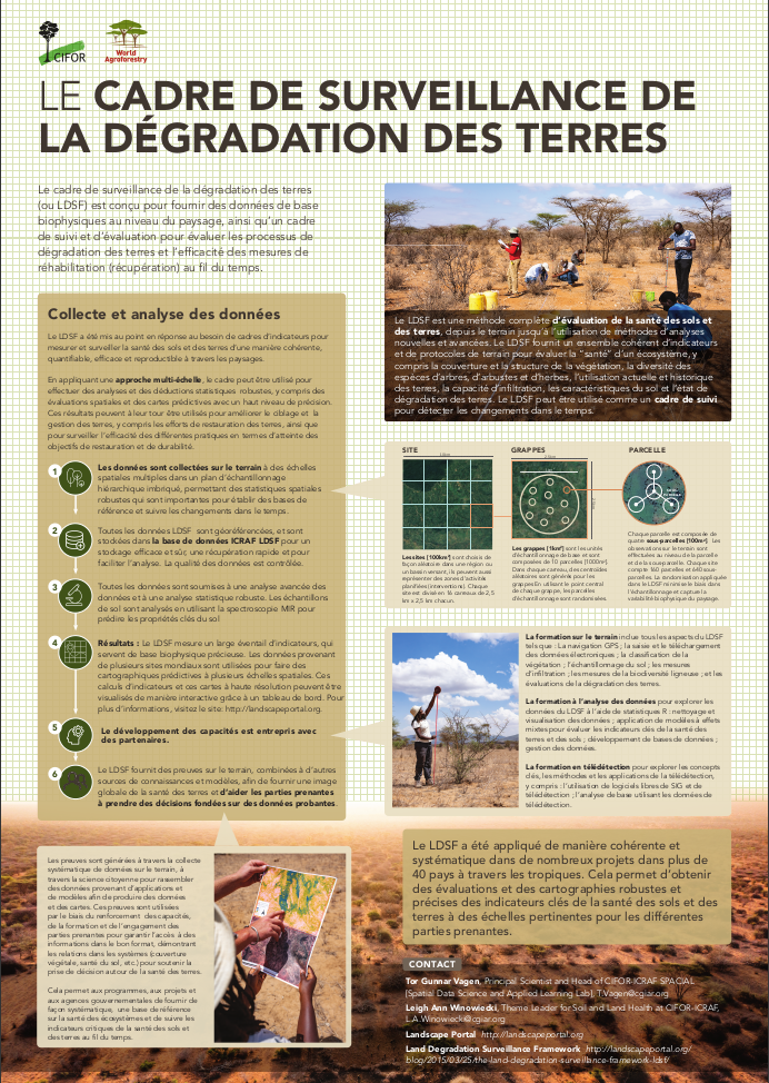
Land Degradation Surveillance Framework French version Poster(08/2022)
- Aug. 10, 2022, 9:19 a.m.
Land Degradation Surveillance Framework French version Poster(08/2022)
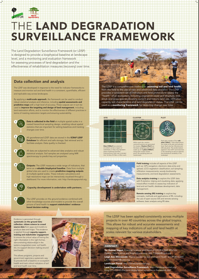
Land Degradation Surveillance Framework English Poster(08/2022)
- Aug. 10, 2022, 9:15 a.m.
Land Degradation Surveillance Framework English Poster(08/2022)
Recent Posts
We work towards the application of GeoScience in real decision contexts, such as climate change adaptation, hydrological effects of changes in climate and land cover, targeting of agroforestry interventions, provision of soil fertility and surveillance advisory services for smallholder farmers, digital soil and land use/cover mapping, and measuring impacts of interventions, all using open source software.